Hazard analysis
Hazard Analysis
Principal researcher: Lies Jacobs
Overall objective:
- Creating landslide inventories for the study areas, with a special focus on the Rwenzori Mountains
- Understanding controlling factors for landslide occurrences, landslide susceptibility assessment
- Understanding triggering factors for landslide occurrences: landslide hazard assessment
Approach:
In this WP the focus lies on extensive field work for the construction of detailed landslide inventories in combination with remote sensing techniques to build an inventories on a regional scale, to quantify land cover changes, and to collect data on rainfall patterns using TRMM.
Methodology:
- Inventories will be constructed on two scales:
- On the regional level: on the basis of high resolution remote sensed data and aerial photographs
- On the local level: on the basis of field inventory work in representative sub-regions (~10²km²) selected based on the regional landslide inventory (most LS prone areas)
- Susceptibility mapping will be constructed for the representative sub-regions and up-scaled to the regional level of the study area
- Making distinction between types of landslides
- Based on tandem-DEM, available soil and geological maps
- Taking into account vegetation (change) through analysis of available LANDSAT and ASTER images
- The susceptibility mapping will first be constructed for the Rwenzori. The susceptibility assessment methods will be extrapolated to the other AfReSlide regions: N and SW Cameroon and Mount Elgon
- Hazard mapping for the representative sub-regions: investigation of rainfall as a triggering factor will be based on TRMM data in combination with own installed rainfall stations.
o Rainfall thresholds will be assessed to correlate data on LS occurrences with triggering rainfall conditions accounting also for antecedent rainfall conditions
- The hazard maps will be constructed to indicate the location, return period and magnitude of future landslides based on the combination of the LS inventory, the LS susceptibility assessment and the analysis of triggering rainfall conditions
Planning:
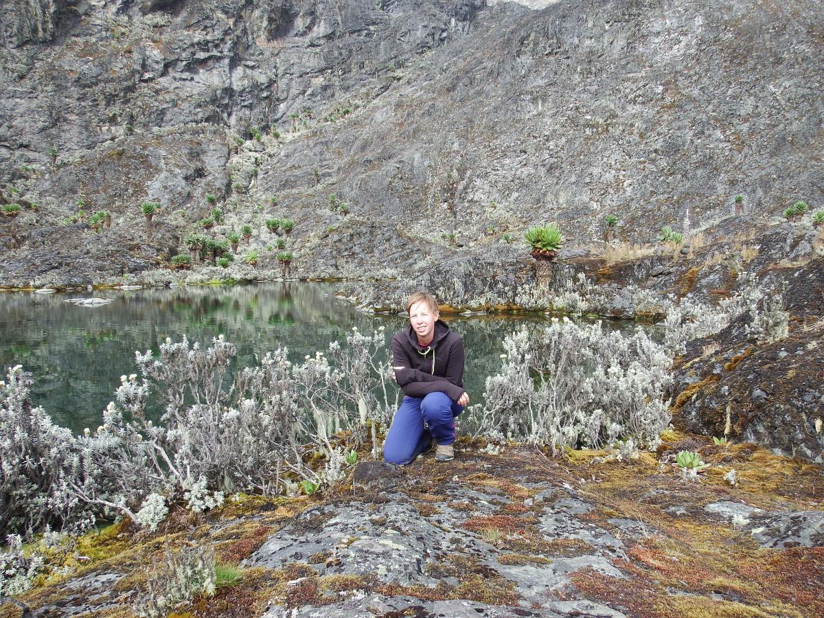
Summer of 2014: fieldwork to the Rwenzori region
Summer of 2015: fieldwork in SW and NW Cameroon
Summer of 2016: fieldwork in the Rwenzori region
Summer of 2017: field work in SW and NW Cameroon/Rwenzori region